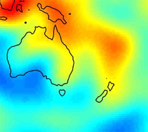
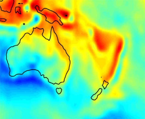
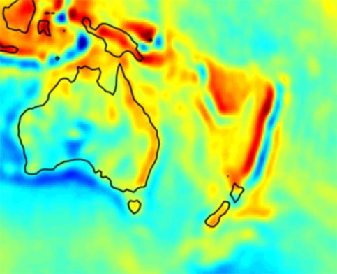
For a more detailed description of such features, please see below.
Solid Earth Science
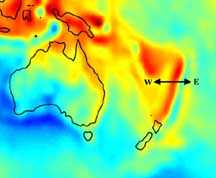
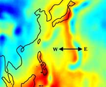
Tectonic features are now resolved by GGM01S that were previously unobservable in gravity models derived from geodetic satellites alone. These features represent various geophysical phenomena in areas such as the Tonga/Kermadec region (a subduction zone where one tectonic plate slides under another), the Himalayan/Tibetan Plateau region (an area of uplift due to colliding plates), and the mid-Atlantic ridge (an active spreading center in the middle of the Atlantic ocean where new crust is being created). Subduction zones, for example, were previously only observed in space-based gravity models as a broad area of high gravity due to the combined mass of the subducting slab beneath a volcanic arc. It is known from high-resolution terrestrial gravity measurements (e.g., from planes or ships), however, that complex, smaller scale gravity features can be observed in such regions. Previously, such insights from terrestrial measurements were limited to very localized areas (due to cost & accessibility) and interpretation over large regions was difficult.
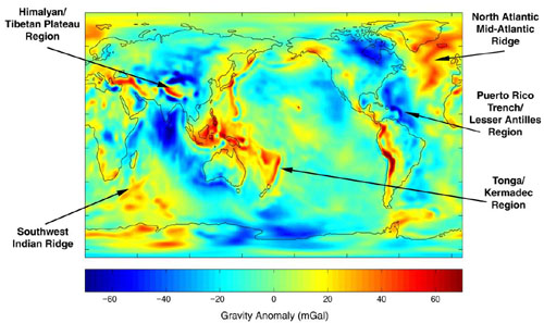
Looking specifically at the Tonga-Kermadec region as an example, there are now many of the classic gravity anomaly features of subduction evident from the space-based GGM01S gravity model. As we look from east to west across this region (starting from right-center of the left panel) we observe in the gravity anomaly map a high (yellow), a low (blue/green), a high (red), and drop to a smaller high (yellow). It is in this region that the Pacific Plate is being subducted under the Australian Plate and the gravity anomalies observed correspond to, in order from east to west:
| Tonga-Kermadec region | Mariana trench |
 |
 |
For further reading: